Capabilities | Desert Eagle Drone
Rapid Aerial Intelligence. Real-Time Impact.
25+
Service Offerings
Executive Summary
Desert Eagle Drone Desert Eagle Drone provides rapid-deployment Unmanned Aircraft System (UAS) services for federal, state, and local agencies, as well as prime contractors. We deliver timely aerial intelligence for disaster response, infrastructure assessment, and critical decision-making. Based in Reno, Nevada, our team combines advanced drone technology with rigorous safety protocols to deliver actionable data across the Western United States. Servicing Nevada, California, and Arizona.
Comparison
Core Capabilities
- Post-Disaster Damage Assessment: Rapidly document structural damage and environmental impact to accelerate emergency response.
- High-Resolution Aerial Imagery: Capture clear, ultra-high-definition visual aerial data for site analysis.
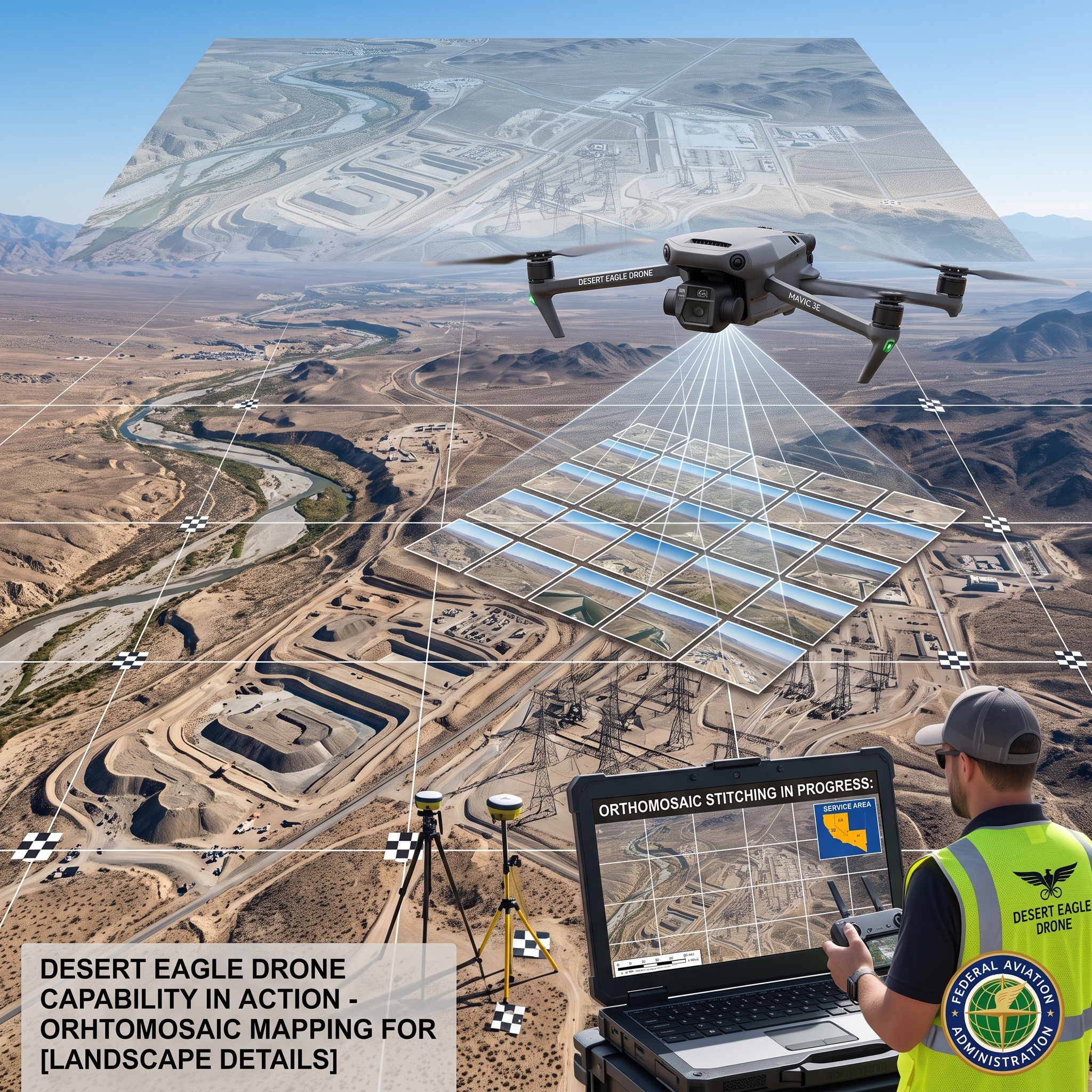
- Orthomosaic Mapping: Create accurate 2D aerial maps for spatial context and site evaluation.
- Photogrammetry & 3D Modeling: Generate precise 3D digital models for engineering, volumetric analysis, and site planning.
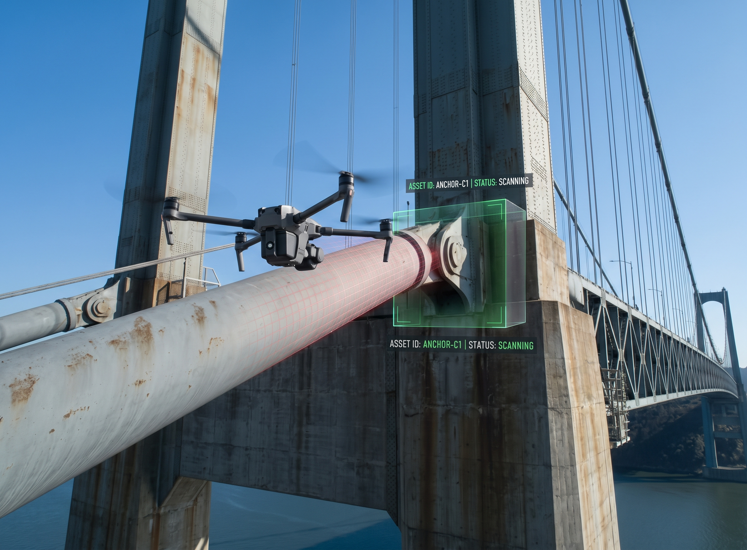
- Infrastructure & Critical Asset Inspection: Inspect bridges, towers, utility lines, and structural assets safely.
- Roof & Building Exterior Inspection: Detailed exterior condition monitoring without the hazard of manual scaling.
- Flood Mapping & Water Extent Analysis: Track active flood zones, surface water boundary movement, and drainage paths.
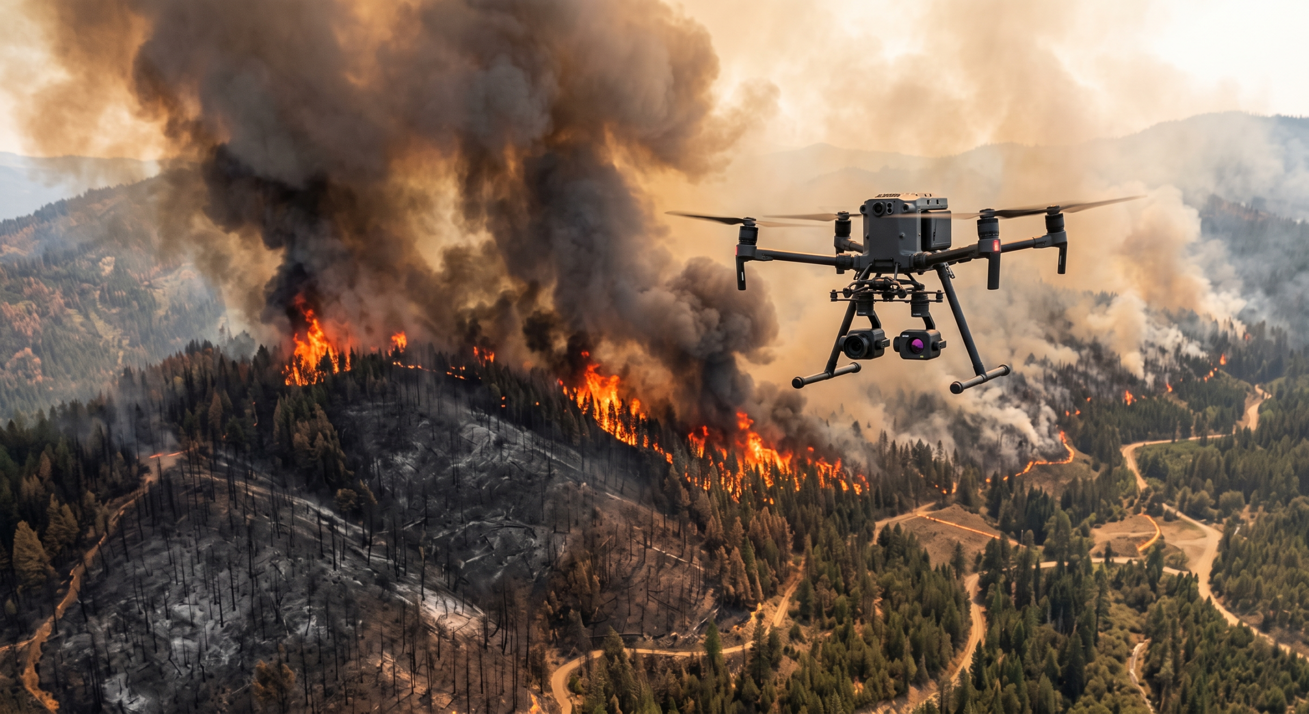
- Wildfire Damage Assessment: Evaluate burn footprints, perimeter containment, and post-fire terrain stability.
- Debris Documentation & Volume Analysis: Quantify post-event debris accumulation for clean-up operations.
- Search Area Reconnaissance: Perform wide-area aerial scanning to support emergency field operations.
- Thermal & EO/IR Imaging: Utilize thermal payload solutions to locate heat signatures and hidden deficiencies.
- Before/After Documentation: Comprehensive baseline and progress imaging for historical tracking.
- Emergency Situational Awareness: Real-time aerial monitoring to inform tactical field operations.
25+
Why Drone Wash
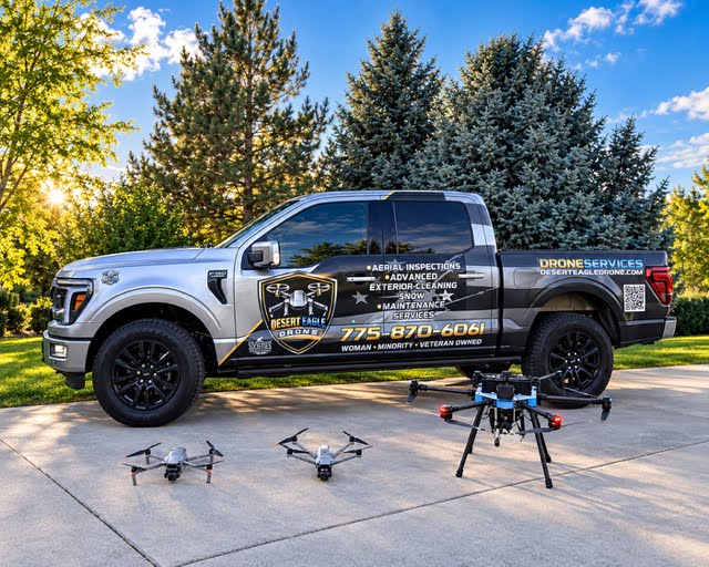
Specialized Fleet & Technology
Aircraft / Drone System | Primary Capabilities & Applications |
DJI Mavic 4E |
|
DJI Mavic 4TD |
|
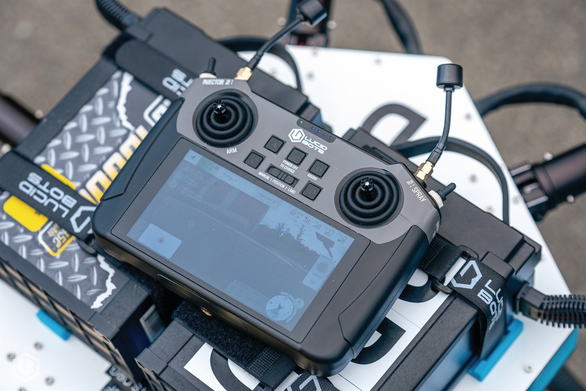
Lucid Bots Sherpa Drone |
|
Why Partner With Desert Eagle Drone?
- Rapid Deployment: Mobile UAS teams stand ready to deploy quickly to affected areas.
- Enhanced Safety: Collect critical information and inspect elevated structures without putting ground personnel at risk.
- Accurate Data: Generate high-resolution, precise data required for actionable insights and regulatory reporting.
- Fast Deliverables: Accelerated data collection combined with rapid processing and reporting turnaround.
- Cost-Effective Solutions: Reduce operational time, labor costs, and manpower requirements compared to traditional surveying or inspection methods.
- Partner-Focused Operations: Deliver flexible, scalable mission support tailored for federal agencies and prime contractors.
Operating in the unique climates of Nevada, California, and Arizona requires a deep understanding of regional environmental challenges.
Trust
Qualifications, Certifications & Government Business Identifiers
Desert Eagle Drone operates at the highest tier of professional compliance, treating every commercial property with the utmost corporate responsibility.
- FAA Part 107 Certified: All operations are led by certified Remote Pilots in Command.
- Ownership Designation: Veteran-Owned, Minority-Owned, Woman-Owned Small Business.
- SAM.gov Registration: Active
- UEI: Pending
- CAGE Code: Pending
- Insurance & Compliance: Fully Insured with safety-driven operations and a strong commitment to data security and regulatory compliance.
Primary NAICS Codes
NAICS Code | Description |
541370 | Surveying & Mapping Services |
541350 | Building Inspection Services |
541990 | Other Professional, Scientific & Technical Services |
541690 | Other Scientific & Technical Consulting Services |
561990 | Other Support Services |
562910 | Remediation Services |